
Blevins Gap Preserve
- Marcus Woolf
- Sep 25, 2022
- 2 min read

Updated: May 31, 2023
The Blevins Gap Preserve has at least 12 miles of trails exploring more than 900 acres.

The Blevins Gap Nature Preserve, covering 1,086 acres, is unique because it’s divided in two and includes separate trail systems on Huntsville Mountain and Green Mountain. The preserve, which is managed by the Land Trust of North Alabama, is also special because it’s close to major South Huntsville neighborhoods and shopping areas. From this part of the city, you’ll drive just a few minutes to reach trails that explore beautiful creeks, remote woods, and high bluffs with inspiring views.
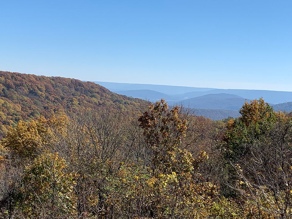
The main Blevins Gap Trailhead is located on Green Mountain, south of Cecil Ashburn Drive, which runs between Green Mountain and Huntsville Mountain. From this trailhead, hikers can reach eight miles of trails that explore 727 acres of the nature preserve. The 1.7-mile Varnedoe Trail and the 1.9-mile Bill and Marion Certain Trail are perfect for those seeking longer treks in remote woods. These trails, plus the West Bluff Trail, also offer excellent views of Huntsville and the lowlands east of town. It’s also possible to reach the Green Mountain trails from the Sugar Tree Trailhead on the western edge of the preserve. The Sugar Tree Trail and Smokerise Trail pass through the secluded and quiet heart of the forest and link to the main Blevins Gap Trailhead.
Another main access point for the preserve is the Fanning Trailhead, located north of Cecil Ashburn Drive, behind Southeast Church of the Nazarene. This trailhead gives hikers access to 4.5 miles of trail on 267 acres. The most popular trail in this area is the Jones Valley Loop Trail, which circles around a stream known as Bailey Cove Branch. Its small, tumbling falls and shallow pools make a great playground for kids on warm spring and summer days.


Comments